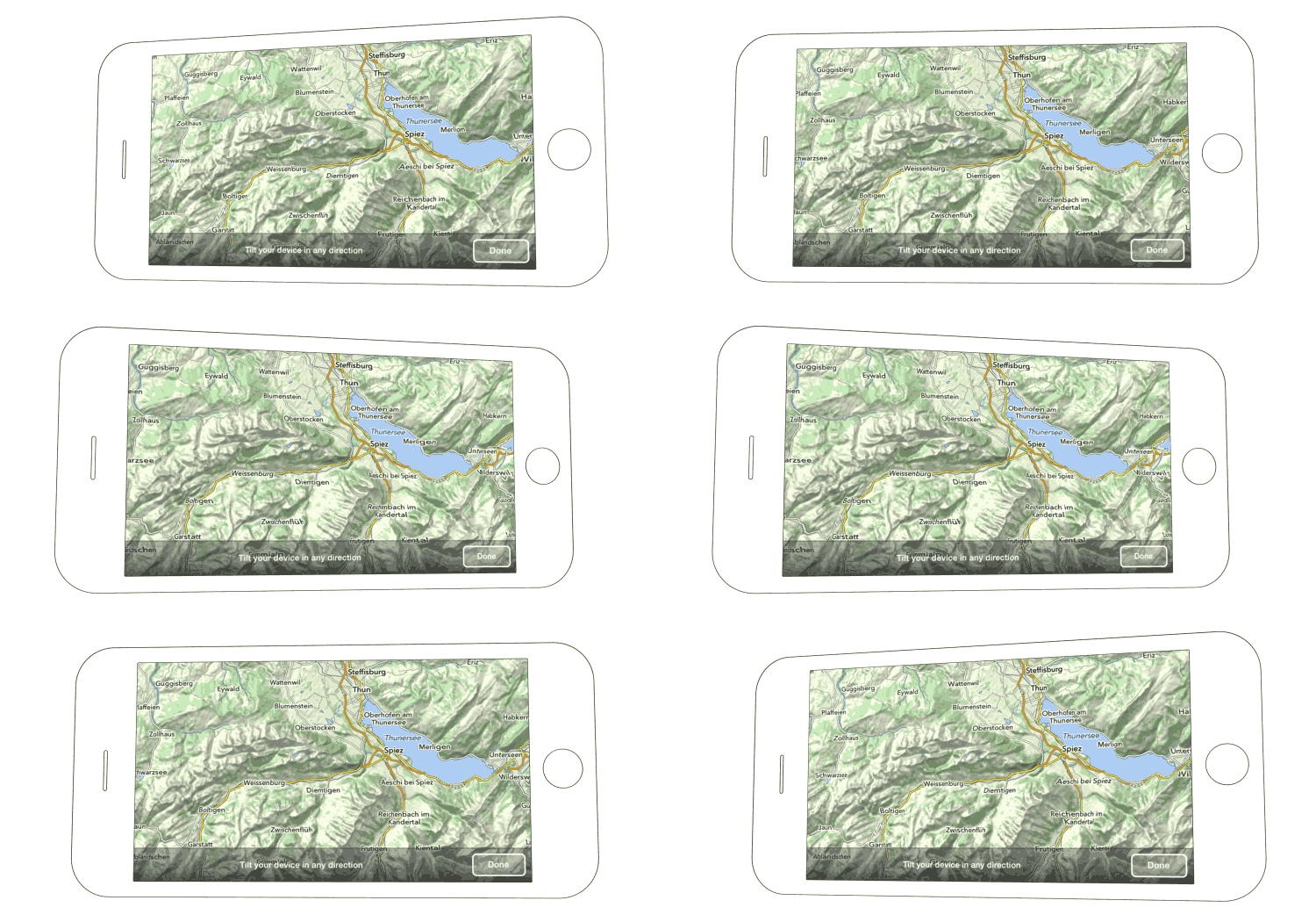
Quote:
Originally Posted by duibhceK

I use Maps.me mainly to put and share pins for interesting places. It is also more convenient to do a search for camp sites and other POIs than OSMAnd is.
(...)
On a side note: I still carry a paper map most of the time, because it gives me a much better sense of scale and of where I am / where I'm going than a digital map on a smartphone screen or even a tablet can.
|
I think any App has his own usecase.
Mapout brings like maps.me the openstreetmap sources (but the topographical map) to your phone.
Additional it brings:
- Topographical map
- contour lines
- 3D View
- Tour planning (off-road - hike, bike, 4x4)
It is not an replacement of maps.me in my eyes - it has his own usecase.
To see how steep a hill is, is important for planning.
You can download the maps easily (world) for offline use, in a small vector size.
It has no satellite view - just osm material - but I try to use it since 2020 too for offroad track planning and driving.

For offroad navigation, there are other players are more capable, but need an extended training period:
2021 Track navigation Apps comparison
https://vanlife.4x4tripping.com/2021...n-at-2021.html
For shure - not a complete list - just a bunch of apps who are worth to look deeper into

As always I did look at those apps for travelling purpose - at home I usually know how steep a hill is...
As I did mention before - I still use also maps.me - it is the best tool if you ask others to guide you - where you can optain firewood as example and for searching for POI`s if you are out of cell coverage. Too maps.me has osm road mapsource, mapout brings a topographical map with...
Surfy