 1Likes 1Likes
 |

5 May 2021
|
|
Registered Users
Veteran HUBBer
|
|
Join Date: Mar 2018
Location: Portugal permanent, Sweden during summer
Posts: 486
|
|
|
maps.me and osmand
MAPS.ME had received good feedback.
So I gave it a try.
It works well if I want to go from A to B.
And I seldom travel that way. I usally want to visit specific places on the way
But I did not find any way to create way-points in MPAS.ME
Is it so that I did not understand how this works? Or it is a functionality that does not exist ?
I tried osmand app.
I found it easy to do what I wanted. And I will try it out more.
It is also possible to download GPX files.
But before I spend to much time and effort.
Is there anyone who can share experiences from osmand ?
(I am running it on Android, if there is any difference)
|
5 May 2021
|
|
Registered Users
Veteran HUBBer
|
|
Join Date: Feb 2012
Posts: 836
|
|
Maps.me is very helpful for orientation and asking someone "where can I buy firewood" - where he can place a needle. Helpful for tagging your loundry, that you can find it again easy. Helpful for planning a the next steps.. Helpful for orientating if you are travelling without defined target. You need many hours more, if you plan to abuse it for real navigation.
Osmand is again something, who I would consider for track navigation, the TET or other tracks, most so called offroad navition like onx, gaia or mapout (reviewed there: https://www.4x4tripping.com/2021/02/...vs-mapout.html)
For onroad navigation I suggest an app who is made for that purpose:
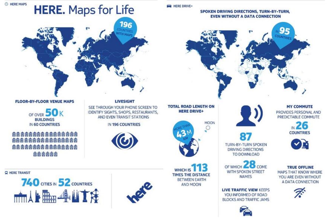
Street names, house numbers, "Please turn left in 20m" - HERE or Here.com (formerly Smart2Go, Map24, Navteq, Nokia Maps) offers very good navigation in over 100 countries. Quite a few car manufacturers equip their navigation systems with Navteq map material (BMW, VW, Daimler etc.) Accordingly, the map material is of high quality. On a trip around the world, this software is simply unmatched. With an online connection, traffic jam avoidance is added - but the maps can be downloaded offline.
Have a read here - I always try to bring an usecase, together with an suggested app
https://vanlife.4x4tripping.com/2021...-2021-for.html
|
5 May 2021
|
|
Registered Users
Veteran HUBBer
|
|
Join Date: Jul 2011
Location: Somewhere
Posts: 1,511
|
|
maps.me is ok if you want a-b navigation, but rubbish in terms of anything else including accurate location or to develop you own routes.
Yes people have used it to drive across Africa etc but they only follow the route it gives and rarely deviate from that route.
OSMand is better but just remember they charge you for maps they get for free from OSM.
Gaia GPs and Locus Maps are about the best proper navigation tools via apps but still not as good a dedicated GPS unit with good mapping. Last time I looked ONX was limited to North America mapping
A quick look at HERE's maps for a remote part of the Sahara I know well shows, inaccurate plotting of roads and incorrect Road numbers 
|
5 May 2021
|
|
Registered Users
Veteran HUBBer
|
|
Join Date: Mar 2018
Location: Portugal permanent, Sweden during summer
Posts: 486
|
|
Quote:
Originally Posted by TheWarden

maps.me is ok if you want a-b navigation, but rubbish in terms of anything else including accurate location or to develop you own routes.
Yes people have used it to drive across Africa etc but they only follow the route it gives and rarely deviate from that route.
|
That was also my impression.
I thought that it might by myself that did not understand how to use it.
Thanks for clarifying
|
6 May 2021
|
|
Registered Users
Veteran HUBBer
|
|
Join Date: Feb 2012
Posts: 836
|
|
Quote:
Originally Posted by TheWarden
A quick look at HERE's maps for a remote part of the Sahara I know well shows, inaccurate plotting of roads and incorrect Road numbers |
Guess for that purpose these Track / Offroad Navigation solutions are better....
We did the transafrica with offline satellite image view (google-Hybrid), using an ipad and motionX (Offline Download isnt possible today with motionX anymore).
From Cameroon till Angola the Here Mapsource (known too as Smart2Go, Map24, Navteq, Nokia Maps) was the best available - if you dont was able to use Google Hybrid Satellite image view.
In the meantime all these mapsoures did get bigger updates compared to 2013:
https://www.4x4tripping.com/2013/12/...atelliten.html
Lets compare:
Openstreetmaps:
https://www.openstreetmap.org/search.../5.6854/9.4469
Google Hybrid:
https://www.google.ch/maps/place/5%C...9.461781?hl=de
Here:
https://wego.here.com/directions/mix...4518,16,normal
Choose yourself ;-)
Today the roadmaps are so easy to download, that we can decide later during our trip, which one to choose.
Offline OSM: Maps.me / Mapout (with additional 3D view)
Offline Here: here
Offline Satellite View: https://www.4x4tripping.com/2021/02/...vs-mapout.html
To Download offline Satellite-View - is still a kind of a challenge - specially if you plan to cross a complete continent.
Surfy
|
6 May 2021
|
|
Registered Users
Veteran HUBBer
|
|
Join Date: Jul 2011
Location: Somewhere
Posts: 1,511
|
|
The error I refer too is a junction between a main road and a side road, not a piste.
If Here's mapping can't get major detail like that correct its of little value in remote areas.
Google's great, until your in a country that blocks it's navigation functions 
If you compare the detail that maps.me shows with the data available in OSM (not forgetting the maps.me uses OSM's maps) you'll see just how limited maps.me is, leaving it in the realm of amateur navigation tools.
|
6 May 2021
|
|
Registered Users
Veteran HUBBer
|
|
Join Date: Feb 2012
Posts: 836
|
|
Quote:
Originally Posted by TheWarden
The error I refer too is a junction between a main road and a side road, not a piste.
|
Thats africa...
It is the same with chosing between the different Satellite-Imagery provider.
It will be different in any travel region - specially for africa (at example I did choose satellite Imagery based at 2013, in a time I was able to see if I my car was parked in front of the house in switzerland)
Bing

Google

There dosnt seem a pressure for doing some updates. In Switzerland you can expect updates inside of a year.
Just one company in africa, did choose to do a business out of mapping - there you can get against a fee - what we travellers did collect for free:
https://tracks4africa.co.za/maps/africa/
Also available inside of a Smartphone App.
But that is not just africa. Travel with your european BMW/Mercedes/Toyota to bulgaria/romania - you will see how the cash brings the mapping quality...
Surfy
|
6 Aug 2021
|
 |
Contributing Member
New on the HUBB
|
|
Join Date: Apr 2016
Location: Hannover
Posts: 1
|
|
Quote:
Originally Posted by Erik_G
MAPS.ME had received good feedback.
So I gave it a try.
It works well if I want to go from A to B.
And I seldom travel that way. I usally want to visit specific places on the way
But I did not find any way to create way-points in MPAS.ME
Is it so that I did not understand how this works? Or it is a functionality that does not exist ?
I tried osmand app.
I found it easy to do what I wanted. And I will try it out more.
It is also possible to download GPX files.
But before I spend to much time and effort.
Is there anyone who can share experiences from osmand ?
(I am running it on Android, if there is any difference)
|
Hey,
I used both of them and stopped using them after a while. maps.me, as mentioned by other, is great from a to b. Good for finding restaurant and so on.
Osmand is way better for navigating but whenever they did updated the maps it took days for all the maps to get updated because after each updated map they start an initialising process of all the maps you have on your phone. Really annoying!
So, I stayed with navigator and at the moment trying Guru Maps. In my opinion they're both very similar except for the fact that only Guru Maps is displaying and following the TET tracks properly. Maybe I'm making a mistake when using Navigator!?
Hope that helps
Karl
__________________
life's a journey not a destination
|
7 Aug 2021
|
|
Registered Users
Veteran HUBBer
|
|
Join Date: Apr 2005
Location: Oxford UK
Posts: 2,116
|
|
|
Anyone else find this stuff unnecessarily complicated? I've given up with wrestling with Garmin's Windows 95 level software interfaces and much of the other backward facing DIY navigation apps that feel like you're wrestling with spaghetti trying to get them to plot a route. A lot of my family have even given up using dedicated sat navs for their day to day travel, preferring to use their phones instead. It's not that you can't do it (and I've certainly spent enough time staring at a Garmin screen on my laptop), it's just all very year 2000. It might have been the future once but that was then. There must be an easier way of doing this stuff.
|
7 Aug 2021
|
|
-
Veteran HUBBer
|
|
Join Date: Apr 2006
Posts: 2,399
|
|
Quote:
Originally Posted by backofbeyond
There must be an easier way of doing this stuff.
|
There is B-O-B but...
you need to speak to the right person  
You could catch up with me in Wales for a bit of free training! 
|
7 Aug 2021
|
|
Registered Users
Veteran HUBBer
|
|
Join Date: Jul 2011
Location: Somewhere
Posts: 1,511
|
|
|
For route planning I actually find Garmins software, particularly Mapsource very easy to use. Only frustration is having to be at a 3km zoom level to see unsurfaced roads with OSM. Basecamp takes a bit of getting the hang of but shows unsurfaced roads at a 15km zoom which makes longer distance planning easier.
The apps are great if your planning is limited to "take me" to a particular place, not so good if you want a more interesting route
|
7 Aug 2021
|
|
Registered Users
Veteran HUBBer
|
|
Join Date: Apr 2005
Location: Oxford UK
Posts: 2,116
|
|
Quote:
Originally Posted by TheWarden
For route planning I actually find Garmins software, particularly Mapsource very easy to use. Only frustration is having to be at a 3km zoom level to see unsurfaced roads with OSM. Basecamp takes a bit of getting the hang of but shows unsurfaced roads at a 15km zoom which makes longer distance planning easier.
The apps are great if your planning is limited to "take me" to a particular place, not so good if you want a more interesting route
|
The problem (or mine anyway) is that all of this stuff is easy once you've got the hang of it. I find Photoshop easy but mainly because I been using it professionally for 25+ yrs. There's a mile high pile of instruction books to get through if you're a newcomer. I've used Garmin's software many times - and navigated across parts of the Sahara with it - so I'm familiar with it (although I've not used it much recently). It's not that it's difficult / awkward in absolute terms, it's just unnecessarily difficult / awkward.
It's much the same with a lot of the bundled image software that comes with Japanese cameras. It works perfectly well but the interfaces are awful compared with commercial competitors so that's what everyone uses. There's obviously big money in image software (look at Adobe's turnover), not so much in remote navigation, so there's no pressure on Garmin to do much but it certainly puts me off.
|
7 Aug 2021
|
|
Registered Users
Veteran HUBBer
|
|
Join Date: Apr 2005
Location: Oxford UK
Posts: 2,116
|
|
Quote:
Originally Posted by Toyark
There is B-O-B but...
you need to speak to the right person
You could catch up with me in Wales for a bit of free training! |
Was this going to be a UK HUBB meet seminar that got Covided off.
Either that or nobody can find their way there 
At the risk of falling foul of 'da rules' tell me more ...
|
|
Currently Active Users Viewing This Thread: 2 (0 Registered Users and/or Members and 2 guests)
|
|
|
 Posting Rules
|
You may not post new threads
You may not post replies
You may not post attachments
You may not edit your posts
HTML code is Off
|
|
|
|

Check the RAW segments; Grant, your HU host is on every month!
Episodes below to listen to while you, err, pretend to do something or other...

2020 Edition of Chris Scott's Adventure Motorcycling Handbook.
"Ultimate global guide for red-blooded bikers planning overseas exploration. Covers choice & preparation of best bike, shipping overseas, baggage design, riding techniques, travel health, visas, documentation, safety and useful addresses." Recommended. (Grant)

Led by special operations veterans, Stanford Medicine affiliated physicians, paramedics and other travel experts, Ripcord is perfect for adventure seekers, climbers, skiers, sports enthusiasts, hunters, international travelers, humanitarian efforts, expeditions and more.
Ripcord Rescue Travel Insurance™ combines into a single integrated program the best evacuation and rescue with the premier travel insurance coverages designed for adventurers and travel is covered on motorcycles of all sizes.
(ONLY US RESIDENTS and currently has a limit of 60 days.)
Ripcord Evacuation Insurance is available for ALL nationalities.
What others say about HU...
"This site is the BIBLE for international bike travelers." Greg, Australia
"Thank you! The web site, The travels, The insight, The inspiration, Everything, just thanks." Colin, UK
"My friend and I are planning a trip from Singapore to England... We found (the HU) site invaluable as an aid to planning and have based a lot of our purchases (bikes, riding gear, etc.) on what we have learned from this site." Phil, Australia
"I for one always had an adventurous spirit, but you and Susan lit the fire for my trip and I'll be forever grateful for what you two do to inspire others to just do it." Brent, USA
"Your website is a mecca of valuable information and the (video) series is informative, entertaining, and inspiring!" Jennifer, Canada
"Your worldwide organisation and events are the Go To places to for all serious touring and aspiring touring bikers." Trevor, South Africa
"This is the answer to all my questions." Haydn, Australia
"Keep going the excellent work you are doing for Horizons Unlimited - I love it!" Thomas, Germany
Lots more comments here!

Every book a diary
Every chapter a day
Every day a journey
Refreshingly honest and compelling tales: the hights and lows of a life on the road. Solo, unsupported, budget journeys of discovery.
Authentic, engaging and evocative travel memoirs, overland, around the world and through life.
All 8 books available from the author or as eBooks and audio books
Back Road Map Books and Backroad GPS Maps for all of Canada - a must have!
New to Horizons Unlimited?
New to motorcycle travelling? New to the HU site? Confused? Too many options? It's really very simple - just 4 easy steps!
Horizons Unlimited was founded in 1997 by Grant and Susan Johnson following their journey around the world on a BMW R80G/S.
 Read more about Grant & Susan's story
Membership - help keep us going!
Horizons Unlimited is not a big multi-national company, just two people who love motorcycle travel and have grown what started as a hobby in 1997 into a full time job (usually 8-10 hours per day and 7 days a week) and a labour of love. To keep it going and a roof over our heads, we run events all over the world with the help of volunteers; we sell inspirational and informative DVDs; we have a few selected advertisers; and we make a small amount from memberships.
You don't have to be a Member to come to an HU meeting, access the website, or ask questions on the HUBB. What you get for your membership contribution is our sincere gratitude, good karma and knowing that you're helping to keep the motorcycle travel dream alive. Contributing Members and Gold Members do get additional features on the HUBB. Here's a list of all the Member benefits on the HUBB.
|
|
|


 Hybrid Mode


