Quote:
Originally Posted by tmotten

What do you mean by projecting waypoints.....
|
Projecting waypoints is a technique where you can make new waypoints based on an existing waypoint and distance and bearing to the next waypoint.
This is useful if you have the road/route is on your paper-map but not on the GPS. You can then make waypoints for your entire route and connect them together in an offroad-route (next subject).
A similar technique make it possible to backtrack your current location to the paper-map. This is very useful to doublecheck that you are on the right track/direction.
With MY smartphone it's not possible to project waypoints or even make a waypoint based on known coordinates. (some maps have coordinates and some literature also use coordinates (like Sahara Overland and Dürch Africa),
With my GPS I can make waypoints for the entire map if I know one location (typically an intersection).
Quote:
Originally Posted by tmotten
and make off-road routes?
|
An off-road route is a route that consists of straight lines between waypoints.
Used together with "projecting waypoints" (or waypoints from other sources like google-map, literature, friends etc) this give you a pretty good route even if you GPS doesn't show any roads. I find that the route typically gets 20% shorter then in real life, but at least it gives me some information about length and I can calculate need for food, water, petrol and if I need to spend a night or more on my way. You will also get other information like ETA, VMG etc. Off course the quality of this data depends on your waypoints etc.
Another use for off-road route is "combined routes", here you mix ordinary routes and offroad-routes.
Lets say that your route has a part where there is no road. Then you can start by making a ordinary route, swith to off.road mode to make the parts with no roads and then back to ordinary mode. Everything is stored as one route.
With MY phone, which only can make ordinary routes, I have to make one route for the first part, no route for the second part and another route for the last part.
All this complaints are about software. Maybe some of the issues are solved on other phones or they can be solved by free apps. As I sad I search for apps, yesterday with minor luck.
For me it doesn't help if an app is free if it doesn't work properly or I need to spend a lot of time finding it. Time is money!
Another thing is to trust code where you don't know anything about the development (50% of my work consists of developing software). I have also had apps that stopped to work after a while...
In my car I only drive on roads (hopefully) and my phone works great!
Quote:
Originally Posted by tmotten
My phones last that long typically. But must people upgrade anyway before that.
|
Yes, I'm hard on equipment....
As a rule of thumb I would say that marine electronics (so far I've only used marine equipment, right now 276C) has higher standard then consumer electronics.
I still have routes and tracks available for my GPS that I stored back in 1999 (on floppy-disks). I don't think my phone knows what a track is.
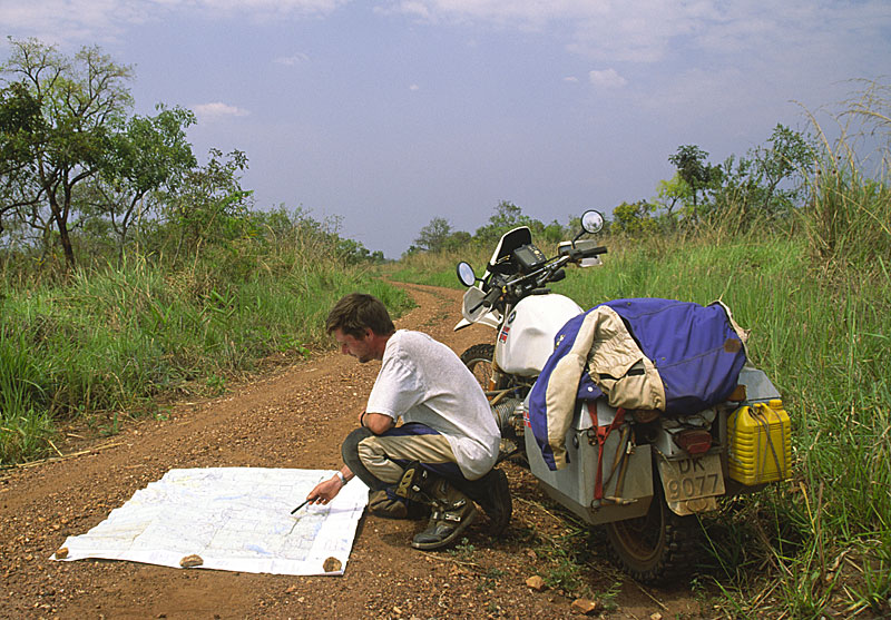
Getting waypoints in Uganda:


 71Likes


 Threaded Mode


